Mapbender
WebGIS nach Maß
Professionelle Open-Source-Software zur Erstellung kartenbasierter Anwendungen.
Mapbender herunterladen
Mapbender
ist flexibel
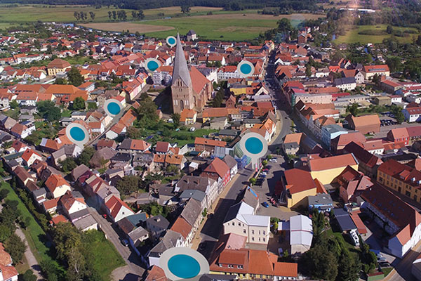
Flexibilität, die weltweit zum Einsatz kommt.
Beispiele ansehen
Mapbender
ist offen
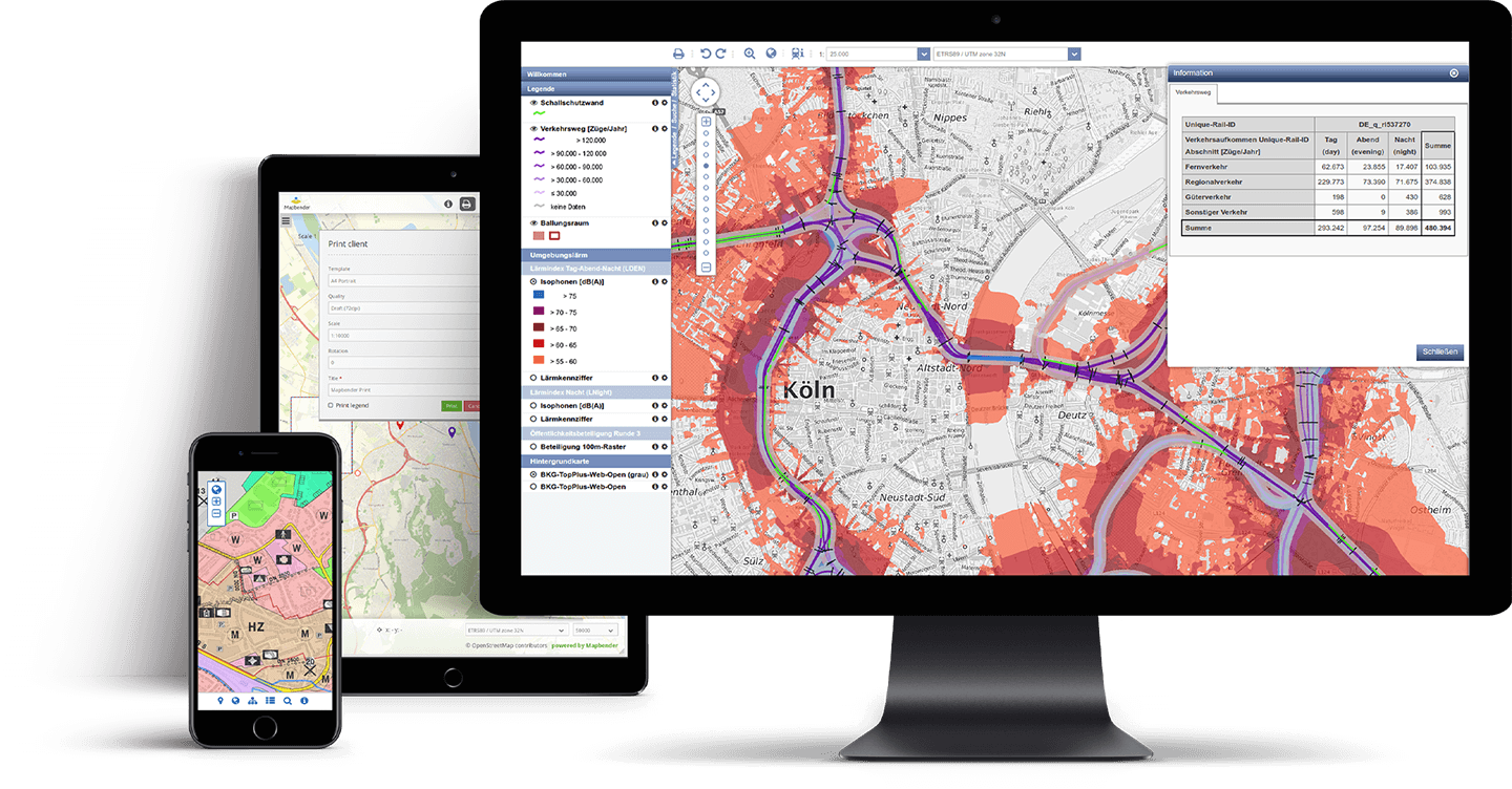
Offene Standards, Unabhängigkeit, Anpassbarkeit und viele weitere Vorteile.
Demo ausprobieren